Mainstream News has become the Band on the Titanic....
Alternative, Breaking, World News that Reports what the Mainstream Media Ignores.
Welcome to "The Honest Intelligence"
Please see Copyright information at bottom of page...
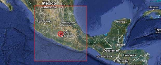
Magnitude 6.0 Deep Earthquake hit Guerrero, Mexico
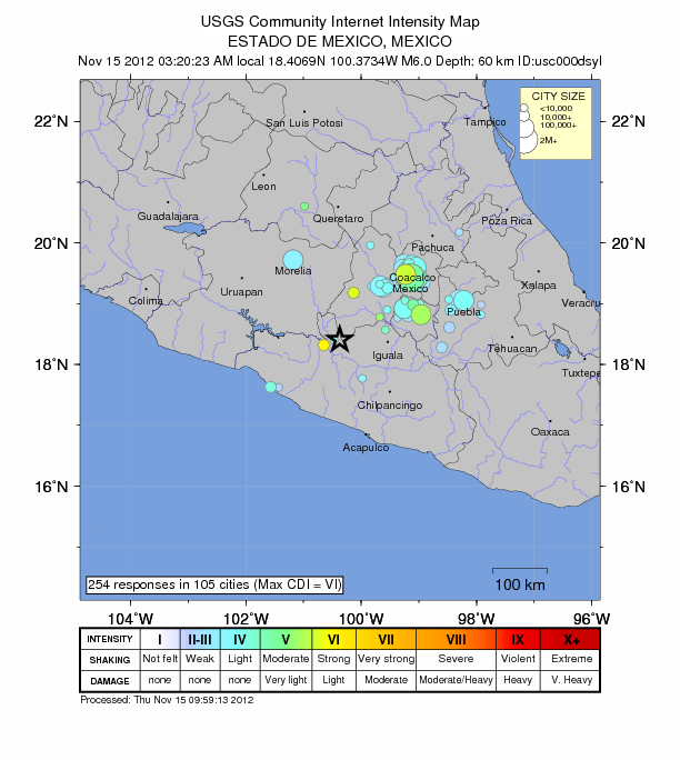
A deep earthquake with recorded magnitude 6.0 hit Guerrero, Mexico on November 15, 2012 at 09:20 UTC according to USGS. Epicenter was located 10 km (6 miles) E of Tlalchapa, Mexico and 17 km (10 miles) NW of Arcelia, Mexico at coordinates 18.407°N, 100.373°W. Recorded depth by USGS was 60.9 km (37.8 miles).
GDACS estimated that this earthquake can have a low humanitarian
impact based on the magnitude and the affected population and their
vulnerability. About 1 460 000 people within 100 km.
| Magnitude |
6.0 |
| Date-Time |
- Thursday, November 15, 2012 at 09:20:23 UTC
- Thursday, November 15, 2012 at 03:20:23 AM at epicenter
|
| Location |
18.407°N, 100.373°W |
| Depth |
60.9 km (37.8 miles) |
| Region |
GUERRERO, MEXICO |
| Distances |
10 km (6 miles) E of Tlalchapa, Mexico
17 km (10 miles) NW of Arcelia, Mexico
31 km (19 miles) ENE of Ciudad Altamirano, Mexico
55 km (34 miles) W of Teloloapan, Mexico |
| Location Uncertainty |
horizontal +/- 11.8 km (7.3 miles); depth +/- 7.9 km (4.9 miles) |
| Parameters |
NST=518, Nph=540, Dmin=162.5 km, Rmss=1.2 sec, Gp= 40°,
M-type=teleseismic moment magnitude (Mw), Version=7 |
| Source |
- Magnitude: USGS NEIC (WDCS-D)
-
Location: USGS NEIC (WDCS-D)
|
| Event ID |
usc000dsyl | |
source